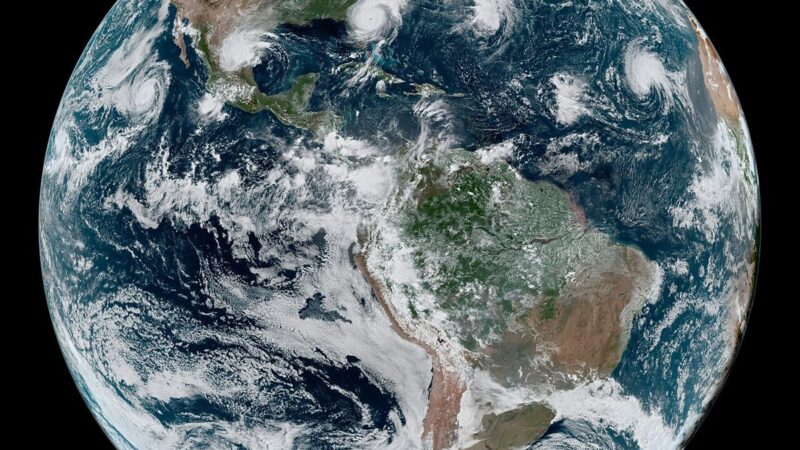

Cyclone Arnab’s inland rain is a reminder that a cyclone does not end at the coast. The storm crossed the Andhra coast, weakened over land, and then delivered its most dangerous phase far from the sea: heavy rain across river catchments, red alerts for inland districts, and rivers rising hours after the rain stopped, in communities that were never in the surge path. The science of that delay is well understood, but the public understanding of it lags behind, and that lag is itself a risk.
A tropical cyclone is, in physical terms, a heat engine that converts warm ocean water into wind and rain. Over land, it loses its fuel, and its winds weaken quickly. Its rain does not weaken as quickly, because the storm continues to draw moisture from the atmosphere and to drop it across a wide area. That rain gathers into rivers, and rivers take time to respond: water that falls on a hillside must travel downhill, through tributaries and into main channels, before it arrives as a flood peak. The peak can arrive a day or more after the rain, in a village that experienced only moderate rainfall itself.
Why inland flooding surprises people
Inland flooding surprises people because it violates the intuition that danger ends when the storm passes. Coastal residents understand surge: they see the sea rise and they evacuate. Inland residents see rain, not surge, and rain feels ordinary, even when it is falling at a rate that the local rivers cannot handle. The result is a dangerous complacency: people return home, resume normal life, and then find a river rising through a community that never expected to flood. Forecasters call this the inland flood trap, and it accounts for a large share of cyclone deaths in many countries.
The warning system must therefore speak to inland communities differently from coastal ones. A coastal warning is about evacuation from a surge path. An inland warning is about staying alert after the rain, about not crossing flooded roads, and about recognising that a river can rise even on a day when the sky has cleared. The warning grid that moved more than 100,000 people before Arnab’s landfall is now being tested on this inland message, and its success will be measured not by how many people evacuated but by how many stayed safe after returning.
The science that should change behaviour
The science points to three practical lessons. First, never drive through flooded water, because a few inches of moving water can carry a car, and most inland flood deaths involve vehicles. Second, treat a river crossing as unsafe until local officials say otherwise, even if the water looks calm, because a river can rise quickly if rain is still falling upstream. Third, keep listening to warnings after the storm has passed, because the flood peak may not have arrived yet. The warning grid that moved 100,000 people before landfall is now carrying that inland message, and it deserves the same attention as the coastal evacuation did.
Arnab will be remembered for its evacuation, and rightly so. But its scientific lesson is inland: a cyclone is a rain event as much as a wind event, and its rain keeps working long after its winds have died. The communities that understand that will be safer in the next storm. The ones that do not will face the same surprise, with the same consequences.