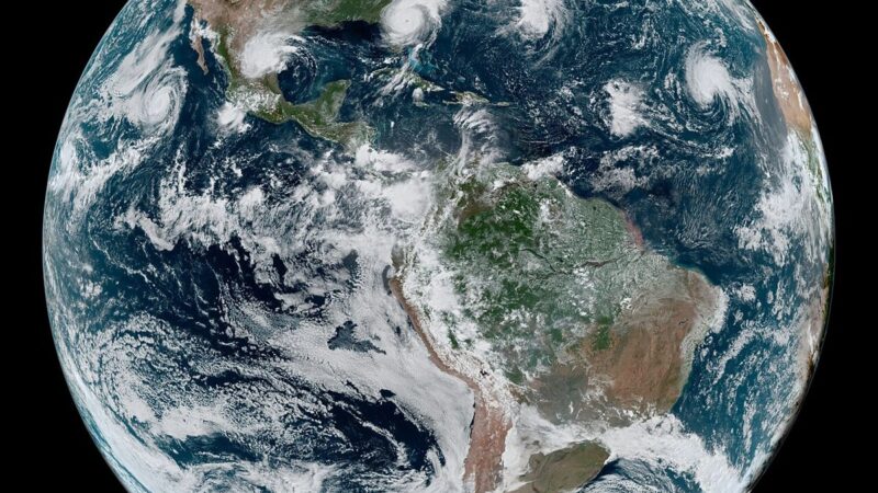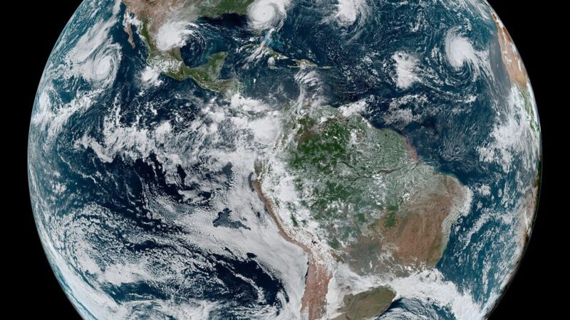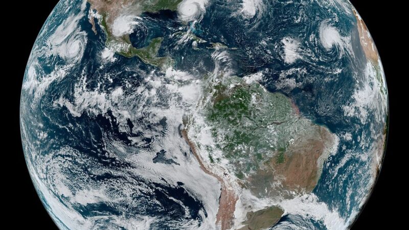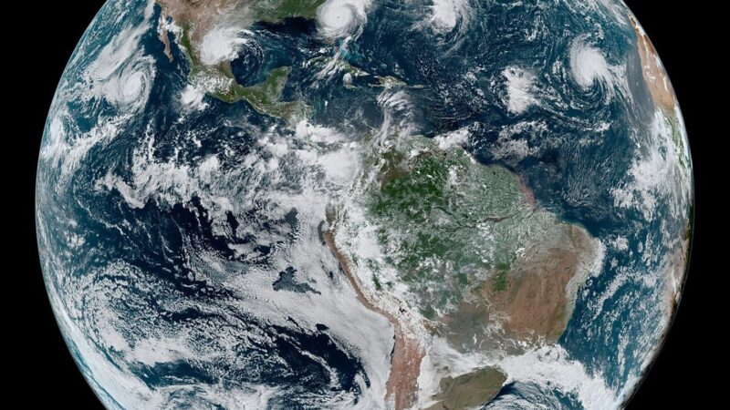
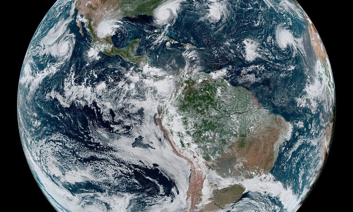
Cyclone Arnab’s inland rain is a reminder that a cyclone does not end at the coast. The storm crossed the Andhra coast in the early hours of Wednesday after a six hour landfall, then turned inland with heavy rain and red alerts. The coastal surge, which warnings had identified as the main threat, was met by an evacuation of more than 100,000 people. The inland threat is different: rivers that rise hours after the rain, low lying roads that flood after the storm has passed, and communities that were never in the surge path but are still cut off.
The science of that transition is well understood, and it is why forecasters track a storm long after landfall. A cyclone’s winds weaken over land, because the storm loses its energy source, the warm ocean, but its moisture does not disappear. It falls as rain, often over a wider area than the wind field, and it runs off into rivers that were already full from the pre monsoon season. The result can be flooding far inland, in places that felt little wind and therefore underestimated the risk. Yesterday’s report on how forecasters tracked Arnab described the cone of uncertainty narrowing to the coast; today’s inland phase shows why that cone must be read as a rainfall map, not only a wind map.
Why evacuation worked, and where it stops
Evacuation works for surge because surge is geographically specific: a coastline, a surge height, and a set of towns in the path. Inland flooding is harder to evacuate for, because it is dispersed and because the at risk area is larger. The answer is not to evacuate everyone inland, which is impossible, but to warn specifically: which rivers, which roads, which low lying areas, and when. That specificity depends on rainfall forecasts, river gauges and local knowledge, and it is the next frontier for cyclone warnings in the Bay of Bengal.
Arnab’s early toll, reported as zero in the first accounts, reflects the coastal evacuation’s success. It should not be read as proof that inland flooding caused no harm, because damage assessment inland takes longer, and because harm from flooding, to crops, homes and livelihoods, is counted differently from harm from wind and surge. The full toll of a cyclone, in economic and human terms, is only known weeks later.
The forecast to improve
The improvement that matters now is rainfall forecasting at district scale, with warnings that name rivers and roads rather than only districts. That requires denser rain gauges, better radar coverage inland, and communication systems that reach villages without television or reliable mobile signal. Arnab showed that coastal warnings can move more than 100,000 people. The next test is whether inland warnings can move the right people, in the right places, before the rivers rise.