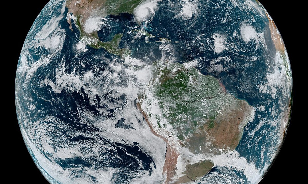
Cyclone Arnab began as a depression over the Bay of Bengal and became a very severe cyclone, a transformation that forecasters track step by step. The Bay of Bengal is one of the world’s most active regions for tropical cyclones, and its warm waters, moist air and seasonal wind patterns give depressions the energy they need to strengthen. A depression becomes a deep depression, then a cyclonic storm, then a severe and very severe cyclonic storm, as winds organise around a centre and the system draws more heat and moisture from the sea. Arnab followed that path, strengthening over the east central and adjoining west central Bay of Bengal, about 650 kilometres east southeast of Visakhapatnam at one point, before turning west northwest toward the Andhra Pradesh coast. The India Meteorological Department forecasts that it will cross the coast near Yanam, between Bapatla and Visakhapatnam, on the morning of October 28, with steady winds of 115 to 125 kilometres per hour and gusts up to 140.
How forecasters narrow the track
Forecasting a cyclone’s track is a combination of observation and modelling. Satellites track the storm’s centre and cloud structure, aircraft and buoys measure winds and pressure where available, and computer models simulate how the storm will interact with steering winds, sea temperatures and land. No single model is trusted alone. Forecasters compare several models, look for agreement, and issue a forecast track with a cone of uncertainty that widens with time, because small errors in the initial position grow larger as the forecast extends. That cone is why officials prepare a broad corridor, from Bapatla to Visakhapatnam in Arnab’s case, rather than a single point, and why residents are told to follow the latest bulletin rather than an early forecast map. A storm’s precise landfall point can shift, and a shift of a few dozen kilometres can move the worst winds and surge from one district to another.
Wind, rain and surge: three hazards, not one
A cyclone is not a single hazard. It is three hazards arriving together: wind, rain and storm surge. Wind damages trees, power lines, temporary structures and coastal settlements, and gusts up to 140 kilometres per hour can bring down poles and roofs across a wide area. Rain causes flooding, especially when heavy to extremely heavy rainfall falls on already saturated ground, and Arnab is expected to bring isolated rainfall of more than 20 centimetres in parts of Odisha. Storm surge, the rise in sea level driven by the storm’s winds and low pressure, can inundate low lying coastal areas near the landfall point, and authorities have warned of possible inundation near Kakinada and Yanam. The Cyclone Arnab science forecast shows why preparation covers all three hazards at once: shelters for wind, evacuation from surge zones, and drainage and rescue teams for flooding. A community that prepares only for wind will still flood. A community that prepares only for rain will still lose power. Arnab demands all three preparations, and the next 24 hours will show whether they are in place.